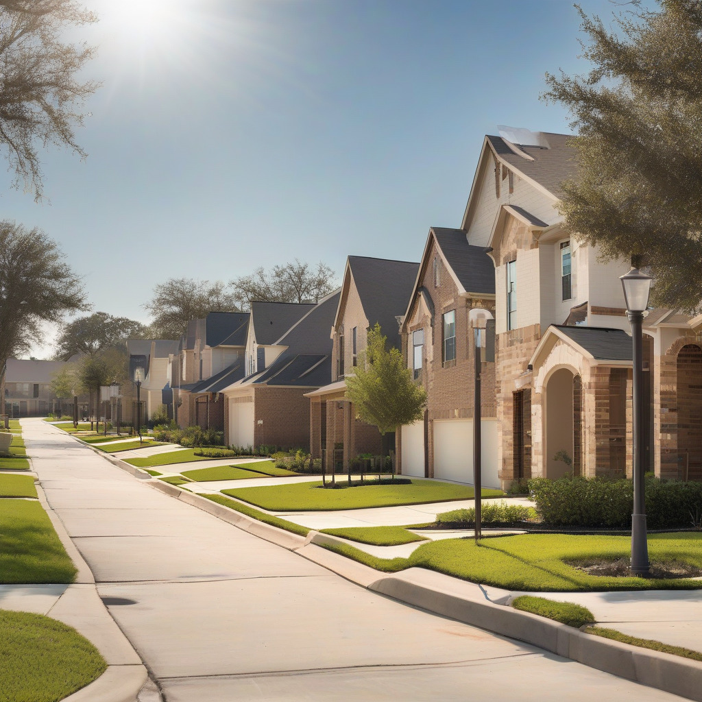
What Buyers Need to Know About Flood Risk When Shopping for a Houston Home
Houston floods. It's not a forecast. It's a statistical certainty backed by the Memorial Day Flood of May 2015, the Tax Day Flood of April 2016, Hurricane Harvey in August 2017, and the destructive…

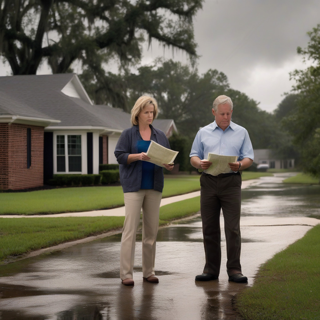
Houston floods. It’s not a forecast. It’s a statistical certainty backed by the Memorial Day Flood of May 2015, the Tax Day Flood of April 2016, Hurricane Harvey in August 2017, and the destructive May 2024 storms that struck parts of Harris County. For buyers entering this market, flood risk isn’t a peripheral concern to revisit after closing. It’s a first-order financial question that can add thousands of dollars annually to housing costs, constrain resale demand, and in the wrong circumstances, wipe out equity that took years to accumulate.
This guide walks you through the due diligence: how to look up any address in minutes, what the zone labels actually mean in Harris County geography, what flood insurance realistically costs after the federal program’s 2021 overhaul, which neighborhoods changed status after Harvey and the 2024 storms, what Texas law requires sellers to tell you, and what to do if the home you want sits next to a county buyout corridor.
Look Up Any Houston Address Right Now Using Two Tools
Start with the federal database, then confirm with the county’s. The two sometimes disagree, and the county version is often more current. Five minutes, two tabs open. Do this before you fall in love with the house.
FEMA’s map: msc.fema.gov
Go to msc.fema.gov and enter the property address. FEMA will return the relevant Flood Insurance Rate Map (FIRM) panel for that location — a colored overlay on a street grid showing your flood zone designation (AE, X, AO, and so on). Write down the FIRM panel number. You’ll need it if you request an elevation certificate or want to track any pending Letter of Map Amendment activity for that parcel.
Harris County’s most recent DFIRM (Digital Flood Insurance Rate Map) revision incorporated post-Harvey modeling, with additional amendments processed since. Confirm the effective date for the specific panel covering your target property directly on the FEMA map viewer.
The county’s more granular picture: Harris County Flood Control District GIS Viewer
Navigate to hcfcd.org, find the Flood Viewer, and search the same address. The HCFCD viewer layers in county drainage infrastructure, bayou boundaries, and buyout parcel data that don’t appear on the federal map. The county updates it more frequently than FEMA revises its official maps — those formal revisions can take years to finalize even after engineering studies are complete.
If the two tools give you different zone designations, treat the HCFCD result as your working assumption and flag the discrepancy with your insurance broker immediately. Lenders base mandatory purchase requirements on the official FEMA FIRM, but real-world risk — and your insurance quotes — will follow what the county’s more granular data shows.
What the Zone Designations Actually Mean in Houston
The letter codes on a flood map aren’t arbitrary. Each one describes a specific level of statistical risk and a specific physical mechanism. In Harris County, local geography gives each zone a meaning you won’t fully grasp from a FEMA legend alone.
Zone AE is the Special Flood Hazard Area (SFHA), also called the 100-year floodplain. A 1 percent annual chance of flooding sounds low. Over a 30-year mortgage, it works out to roughly a 26 percent chance of at least one flood event — worse odds than many buyers realize when they first see the number. This is the designation buyers encounter most in Houston’s urban core. Along Brays Bayou, which runs through Meyerland, Braeswood, and into the Medical Center, large swaths of adjacent residential blocks are mapped AE. If a federal mortgage backs your loan and the home falls in Zone AE, flood insurance isn’t optional. Your lender will require it as a condition of closing.
Zone AH means shallow ponding — water that accumulates rather than flows rapidly. You see it in portions of west Harris County and some older suburban plats where drainage design predates modern floodplain standards. Zone AO is sheet-flow flooding across sloped terrain, common where land grades toward drainage channels. Premium calculations for AO differ from AE in ways that aren’t intuitive; ask your broker to walk through the specifics rather than assuming they’re similar.
Zone VE is storm surge territory — the coastal high-velocity zone where wave action compounds surge flooding. It matters primarily for buyers looking at properties along Galveston Bay, Clear Lake, and the corridor south and southeast of the city. VE carries the highest flood insurance premiums of any zone. If you’re shopping near the bay, budget for it as a significant fixed cost.
Zone X Shaded is the 500-year floodplain, a 0.2 percent annual chance of flooding. Flood insurance isn’t federally mandated here, but the shading is telling you something real: this ground has been modeled to flood under severe conditions. Zone X Unshaded sits outside even that boundary.
Here’s where Houston diverges from almost every other major American city. Most buyers assume Zone X Unshaded means safe ground, and in most places they’d be mostly right. Houston averages around 50 inches of annual rainfall — among the highest of any major U.S. city — sitting on a flat, clay-heavy coastal plain with almost no natural drainage gradient. Harvey flooded deep into Zone X properties across Kingwood, Cypress, and Katy because no floodplain map is built to account for that volume of rain in that timeframe. Zone X Unshaded in Harris County means your modeled risk is lower. It does not mean the ground stays dry. Those are genuinely different things, and conflating them is how buyers get hurt.
What Flood Insurance Will Cost Under Risk Rating 2.0
Before October 2021, your flood insurance premium through the National Flood Insurance Program was driven primarily by flood zone and your property’s elevation relative to the Base Flood Elevation on the FIRM. An elevation certificate showing the first floor above BFE produced a predictable discount. That formula is gone.
FEMA’s Risk Rating 2.0, which took effect for new policies October 1, 2021, and for all renewals by April 1, 2022, replaced it with an individualized risk model that weighs four major factors: the property’s replacement cost value, the types of flooding it faces (riverine, pluvial, coastal, or some combination), the distance from the nearest water source, and the structure’s foundation type and first-floor height. Zone designation still influences pricing — it’s just no longer the primary driver.
The practical effect in Houston has been significant and uneven, and I think it’s fair to say the results have surprised a lot of homeowners who expected predictability. Some Zone AE homeowners with properties at relatively high elevations saw premiums decrease. Others — particularly in lower-lying sections of Meyerland, Kashmere Gardens, and the Addicks/Barker reservoir impact areas — saw them climb substantially. Because Risk Rating 2.0 incorporates replacement cost value, expensive homes in high-risk zones took larger hits than modest homes at the same elevation. Annual increases are capped at 18 percent per year until a property reaches its full-risk rate. For some homes in the hardest-hit corridors, that ramp is still underway.
For a standard single-family home with $250,000 in building coverage in a Zone AE location in Harris County, NFIP premiums currently run somewhere between $1,500 and $4,500 annually, depending on structure type, proximity to bayous, first-floor elevation, and replacement cost. That’s not a small range, and individual property characteristics drive the variation in ways that a general estimate can’t capture — get an actual quote from a licensed broker using the specific property address before you’re under contract. At $4,500 a year, you’re adding more than $375 a month to your housing costs before you’ve touched principal.
There’s also a ceiling problem. The NFIP’s maximum structural coverage is $250,000, with a $100,000 cap on contents. In the Houston market, plenty of homes are worth more. Buyers who rely solely on the federal program carry a gap in coverage that matters if the house floods. Supplemental excess flood coverage or a private market policy fills that gap — at additional cost, and with complexity buyers don’t always anticipate until they’re already under contract.
The Private Flood Insurance Market in Texas
Private flood insurance exists in Texas. Carriers including Neptune Flood, Wright National Flood Insurance, and Palomar Specialty Insurance write flood policies here, and in certain situations — well-elevated homes in Zone AE, or properties near the AE/X boundary — private policies can cost less than NFIP premiums while offering higher coverage limits. They can also cover structures NFIP excludes and may carry different waiting period terms than the federal program.
The catch is that private underwriting is selective. Carriers decline properties with prior claims history, the lowest-elevation AE zones, and parcels near active bayou corridors where their models show very high loss probability. If NFIP is the coverage of last resort for the highest-risk Houston properties, it’s sometimes the only resort. That’s worth knowing before you spend time chasing private quotes on a house that’s been underwater three times.
An elevation certificate — prepared by a licensed surveyor, documenting a structure’s elevation relative to Base Flood Elevation — used to drive NFIP discounts directly. Under Risk Rating 2.0, FEMA no longer uses it as a direct rating input. Private insurers still use them extensively, and many lenders require equivalent documentation for private policy acceptance.
If the seller has an existing elevation certificate, get a copy before closing and share it with your broker. If none exists and you’re seriously considering the property, budget $200 to $500 for a surveyor to prepare one. The cost is minor compared to the difference it can make in private-market quotes.
Before closing, ask your broker one question that matters: “Can you run competing quotes from at least two private carriers alongside the NFIP number, and can you confirm the private policy will satisfy my lender’s requirements?” Some lenders impose specific conditions about policy form and carrier rating. Confirming lender compliance before you commit to a policy avoids a scramble in the final week before closing — which is the worst possible time to discover a problem.
Neighborhoods That Changed Flood Zone Status After Harvey and the 2024 Storms
The most recent Harris County DFIRM revision was the first federal map update to incorporate Harvey modeling. Additional amendments have been processed since, and more are coming. Confirm the effective date of the current FIRM panels for any property you’re considering directly through the FEMA Map Service Center.
Meyerland is the most visible example. Multiple streets — including blocks along Braeswood Boulevard running toward Brays Bayou — saw parcels reclassified or assigned lower Base Flood Elevations after Harvey. More of each structure was identified as at or below the flood threshold. Meyerland flooded in 2015, 2016, and 2017 before Harvey even arrived. The post-Harvey DFIRM revision formalized what residents already knew.
Kingwood saw significant reclassification along the East Fork of the San Jacinto River, which overtopped dramatically during Harvey when upstream releases were managed into Lake Houston. Areas previously mapped Zone X entered the SFHA in the revision. Buyer confusion persists because the subdivision’s terrain reads as elevated — it genuinely feels like high ground — but portions carry Zone AE designations now. That gap between how a place feels and what the map says is exactly where expensive surprises come from.
Kashmere Gardens, along White Oak Bayou tributaries, saw AE zone boundaries expand. This is a lower-income neighborhood, and the financial impact of mandatory flood insurance requirements lands disproportionately hard here. Adding $150 to $200 a month in insurance costs can make a modestly priced home effectively unaffordable. The map colors don’t convey that.
The Addicks and Barker reservoir pool zones require special attention. When Harvey filled both reservoirs beyond capacity, Army Corps releases inundated neighborhoods — parts of the Energy Corridor, Bear Creek, Cinco Ranch — that had never flooded before. FEMA subsequently issued Advisory Base Flood Elevations for properties within the reservoir pool inundation boundaries. If you’re buying anywhere in that west Houston corridor, verify whether the property falls within the mapped reservoir pool boundary. This isn’t an edge case; it affects thousands of homes.
After the May 2024 storms, which caused localized but severe flooding in parts of Greenspoint, areas near Greens Bayou, and low-lying sections of northwest Harris County, Letter of Map Revision processes may have been triggered for several subwatersheds. Formal map amendments from those events haven’t all been confirmed as finalized. Check directly with HCFCD whether any Preliminary DFIRM or LOMR activity is open for the panel covering your target property.
To check for pending map changes on a specific address, go to msc.fema.gov, search the address, and look for any notation of a pending LOMR or LOMA. FEMA’s Map Information eXchange at 1-877-FEMA-MAP can tell you whether any revision process is open for a given FIRM panel. Your title company should flag pending revisions in a standard search — but don’t rely on that alone. Ask directly.
What Texas Law Requires Sellers to Disclose
Texas Seller’s Disclosure Notice form TXR 1406, strengthened by Senate Bill 339 in the 2019 legislative session, requires sellers to answer specific flood-related questions in writing before a buyer signs a contract. The 2019 amendments were a direct response to Harvey, during which some sellers were alleged to have misrepresented or withheld flood history. That the legislature had to mandate this says something about how those conversations were going.
The current form asks sellers to disclose whether the property is in a federally designated flood hazard area, whether it has ever flooded from any source including interior flooding, whether the seller has filed any insurance claims related to flooding or water damage, and whether they’ve received any federal disaster assistance related to flooding of the property. These are yes/no checkboxes. A seller who checks “no” on prior flooding when the property has a documented claims history creates legal exposure.
Don’t rely solely on what the seller says. Request a Comprehensive Loss Underwriting Exchange (C.L.U.E.) report for the property. C.L.U.E. reports document insurance claims history and can surface prior flood claims that a disclosure form may not fully capture. Ask your real estate attorney or closing agent how to obtain one for the specific property. Confirm the current version of TXR 1406 at trec.texas.gov before relying on any summary you find elsewhere.
If a seller misrepresents flood history, the Texas Deceptive Trade Practices Act provides civil remedies for buyers harmed by knowing misrepresentation of material facts. In practice, that means an expensive, slow lawsuit. The better outcome — every time — is thorough due diligence before closing.
What It Means If Your Target Home Is Near a Harris County Buyout Zone
The Harris County Flood Control District runs one of the largest voluntary buyout programs in the country. HCFCD acquires flood-prone properties, demolishes the structures, and converts the land to green space or drainage infrastructure. Funding comes from FEMA Hazard Mitigation Grant Program money, HUD Community Development Block Grant–Disaster Recovery funds, and the $2.5 billion bond Harris County voters approved in August 2018. Since Harvey, the district has acquired or is in the process of acquiring approximately 3,000 or more properties across the county — verify the current count at hcfcd.org, since the program is ongoing.
The program is voluntary. HCFCD can’t force a sale. Demand far outpaces available funding, and waitlists in some bayou corridors extend for years. Active acquisition corridors have included Brays Bayou in the Meyerland area, Hunting Bayou in northeast Houston, Greens Bayou in north Harris County, and White Oak Bayou. Check currently open watersheds at hcfcd.org before drawing conclusions about a specific property.
What buyers don’t always think through: if the home you want sits adjacent to several acquired buyout parcels, you’re buying into a neighborhood that’s being slowly deconstructed. As HCFCD removes structures block by block, the character of the street changes. Resale demand from future buyers — who will see the same pattern on the map — may be genuinely constrained. This is already playing out on certain streets in Meyerland and along Hunting Bayou, not as a hypothetical but as a present condition you can observe on the ground.
That doesn’t mean automatically walking away from a home near a buyout corridor. Some of those neighborhoods have real community anchors, and elevated or flood-mitigated structures on the same street may carry very different risk profiles than the acquired parcels around them. But it’s information a seller won’t volunteer, and it belongs in your offer price calculation. For broader context on what conditions Houston buyers are navigating right now, our moving & real estate coverage tracks market shifts across Harris County.
Before You Make an Offer — A Concrete Buyer Checklist
Every step below belongs on your list before you submit an offer on any Harris County property. All of it.
1. Run both flood map tools. Look up the address at msc.fema.gov and at the HCFCD GIS Viewer at hcfcd.org. Record the zone designation from each, write down the FIRM panel number, and flag any discrepancy between the two for your insurance broker.
2. Check for pending map amendments. At msc.fema.gov, confirm whether any LOMA, LOMR, or preliminary DFIRM revision is pending for the FIRM panel covering the property. Call FEMA’s FMIX line at 1-877-FEMA-MAP if the online search is unclear.
3. Request the seller’s flood disclosure in writing. TXR 1406 is a legal requirement. Read the flood-related checkboxes carefully. If any answer surprises you, ask for documentation — insurance claim summaries, repair receipts, elevation certificates.
4. Request a C.L.U.E. report. Get the property’s insurance claims history through your real estate attorney or closing agent. Prior flood claims are among the most important data points your due diligence can surface, and sellers don’t always fully disclose them.
5. Get the elevation certificate if one exists. Ask the seller or their agent. If none exists and you’re seriously interested, pay a licensed surveyor to prepare one. It costs $200 to $500 and can meaningfully affect private-market insurance quotes.
6. Get actual flood insurance quotes before you make an offer. Contact an independent broker who writes both NFIP and private market policies in Texas and ask for quotes under both programs using the property address. Do this before you’re under contract — not during the option period when you’re already emotionally committed and the clock is running. If the total carrying cost with flood insurance makes the house financially unworkable, you need that information now.
7. Check the HCFCD buyout map. Confirm whether any parcels within a block or two of the target property have been acquired or flagged in the buyout program at hcfcd.org. If you see heavy concentration nearby, factor that into what the street looks like in five years — and into your offer. Buyers who want a clearer picture of what Houston’s current buyer’s market conditions mean for negotiating leverage should review the latest data before setting a number.
Flood risk in Houston isn’t binary. It’s not “flood zone” versus “safe.” It’s a spectrum of probability, cost, and local geography that every buyer in Harris County has to work through with actual data. The tools are there. The disclosure requirements are on the books. The insurance market is complicated but navigable.
The buyers who get hurt are the ones who trusted a verbal assurance from a seller, skipped the map check, or decided Zone X meant dry ground. In Houston, it never has.
Coverage of flood policy, HCFCD programs, and FEMA map amendments changes frequently. Readers should confirm current DFIRM designations and insurance premium ranges directly with FEMA and a licensed Texas insurance professional before making any purchasing decision.