What the EV Charging Map Actually Looks Like Along Houston's Highway Corridors
The short answer to the question Houston EV drivers keep asking: yes, there are gaps, and some of them are serious. The longer answer requires going corridor by corridor. The difference between a w…

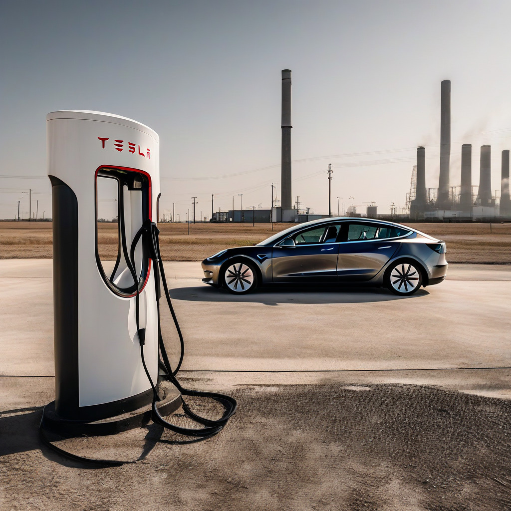
The short answer to the question Houston EV drivers keep asking: yes, there are gaps, and some of them are serious. The longer answer requires going corridor by corridor. The difference between a well-served stretch of I-10 and a poorly served stretch of I-45 South is the difference between a confident commute and genuine white-knuckle math.
This is an editorial assessment, not a map embed. PlugShare, ChargePoint’s locator, and the Department of Energy’s AFDC tool will show you that stations exist. What they won’t tell you is which ones reliably work in 95-degree heat, which networks have earned the local EV community’s trust, and whether the corridor you’re planning to drive during hurricane season has enough fast-charging capacity to matter. That’s what this piece is for.
How the Online Maps Mislead — and Why It Matters More Here Than Elsewhere
Most EV charging maps aggregate station listings from network operators. A station appears on the map when it’s registered with the network — not when it’s working, not when it’s uncongested, and not when it hasn’t been vandalized, heat-damaged, or ignored by a property manager who never wanted a charger in the first place.
That gap between listed and functional is a problem everywhere. It’s larger in Houston for three specific reasons: scale, heat, and evacuation corridors.
Houston’s commuter shed is vast. A 10-mile detour for a working charger is categorically different here than in a dense city where another station is six blocks away. The summer climate — routinely above 95°F from May through September, with humidity that makes the heat feel personal — stresses charging hardware in ways that affect both uptime and range. But the more urgent reason all this matters has nothing to do with commuting.
I-10, I-45, and I-69 aren’t just commuter routes. They’re the highways Houston uses to move residents out of the path of a Gulf Coast hurricane. Whether those corridors can support an EV evacuation is not hypothetical in this city. It’s a planning question with a real deadline. Right now, the answer is not reassuring, and I don’t think it gets nearly enough attention.
I-10 (Katy Freeway): Solid West, a Real Gap East
West of downtown toward Katy, I-10 is among the better-served corridors in the metro. The Buc-ee’s at the Pin Oak Road exit in Katy — one of the chain’s higher-profile locations to add a DC fast-charger cluster — has become an anchor for westbound drivers. The Katy Mills Tesla Supercharger, off the freeway near the mall, adds redundancy. For the Houston-to-San Antonio run via I-10, coverage through Katy and into the Sealy area is workable, though it thins noticeably past Sealy.
East of downtown is a different story. Past Channelview, DC fast-charging options drop off sharply. The stretch from Channelview through Baytown toward the Louisiana state line has a handful of Level 2 stations and almost no reliable public DCFC. Drivers making that run are doing it with little margin for a busy stall or a session that terminates early. That’s a stressful position on a 95-degree Tuesday with no good fallback.
In the Galleria area, several ChargePoint and Blink units appear on aggregator maps. The ChargePoint stations near the Galleria have generally acceptable community check-in records, though evening retail hours push availability. The Blink hardware in the area has a weaker track record — more on that below.
I-45: The Galveston Run Is the Most Problematic Corridor in the Metro
Houston EV owner forums cite I-45 South more consistently than any other corridor when the subject is range anxiety. Spend any time in the local EV subreddit threads or PlugShare discussions and you’ll see the same frustrations recycled every few weeks, nearly word for word.
The roughly 50-mile run from the South Loop to Galveston Island has one primary DC fast-charging chokepoint serving most southbound demand: the Tesla Supercharger in League City, near I-45 and FM 518. That station is well-located and, by most accounts, reasonably maintained. But it carries outsized traffic. Since Tesla opened its Supercharger network to non-Tesla vehicles — a process that expanded through 2024 — congestion at League City has increased. Drivers with non-Tesla EVs now have access to the fastest charger on this corridor, which is good for equity and genuinely complicated for wait times on a Saturday in July when Galveston is packed and everyone’s battery is screaming.
The Webster and Clear Lake area, near NASA’s Johnson Space Center, is mixed. Several ChargePoint Level 2 units are present at locations including Houston Methodist Clear Lake, and there are some faster options, but DCFC density relative to the number of EV owners in the JSC corridor is thin. Clear Lake has attracted a disproportionate share of early EV adopters given its professional demographic — which only heightens pressure on limited infrastructure. South of League City toward the island, Galveston has some charging options, but summer weekend visitor volume versus available DCFC makes the math ugly fast.
Northbound I-45 is a different world. Conroe has a Supercharger, which makes the Houston-to-Dallas run workable, and commercial adoption pressure on the Dallas corridor has driven more consistent investment. The disparity between northbound and southbound I-45 reflects something worth saying plainly: vacation-corridor demand hasn’t driven the same investment response as commercial-corridor demand. That won’t change until the economics force it.
I-69 and US-59: A Federal Designation That Doesn’t Match What’s on the Ground
TxDOT has designated I-69/US-59 as an Alternative Fuel Corridor under the federal framework, making it eligible for NEVI funding and supposed to be a priority for gap-filling investment. The designation is real. The infrastructure it implies is not.
The southwest leg toward Sugar Land is adequately served near First Colony. There’s workable Level 2 and some DCFC availability in that part of Fort Bend County. Beyond Sugar Land toward Victoria and the Gulf Coast bend, options thin fast. The stretch from Sugar Land to Victoria lacks reliable DC fast charging — and that’s a long stretch to cross on faith.
The northeast leg is worse. Humble and Kingwood — northeast Harris County, one of the fastest-growing residential corridors in the metro — is what locals describe without much exaggeration as a DC fast-charging dead zone. Residents report driving to Webster or to the Texas Medical Center area to access fast charging. For a corridor this densely populated, that’s a real daily friction cost and a serious deterrent for anyone still on the fence about buying an EV.
The NEVI designation creates a federal mandate and a funding pathway. It does not put a station in the ground next month. The gap between designation and delivery is the accountability story on this corridor, and TxDOT’s public project documentation for I-69 has not shown funded, contracted sites with imminent opening dates for the northeast Houston segment.
Five Suburban Dead Zones Where EV Ownership Is Hardest Right Now
Cypress and Tomball, northwest Harris County, lack public DCFC despite years of substantial population growth. Drivers typically have to reach Katy or the Energy Corridor for fast charging. For a suburb this size, that’s not a minor inconvenience.
Pearland and Friendswood, straddling the Brazoria County border, are among the fastest-growing suburban clusters in the metro. DCFC options remain thin. Most fast-charging sessions from this area require a real drive north or west — which registers hard for prospective buyers who do a pre-purchase infrastructure check.
Humble and Atascocita, northeast Harris County, is by community-reported data the least-served quadrant of the metro for DCFC. The combination of residential density, distance from Loop 610 stations, and the absence of a DCFC anchor on I-69 northeast makes this the single hardest part of the Houston metro to manage a full day’s driving without home charging. No close second.
Baytown and La Porte, in the industrial corridor east of Harris County, don’t generate the retail anchors that typically attract network investment. Public DCFC is minimal, and the few stations that exist are mostly Level 2 at commercial facilities not accessible to general traffic.
Katy to Brookshire: past the Katy Mills cluster on far western I-10, the metro’s DCFC network drops off before drivers reach the Sealy area. That gap between Katy and the next fast charger heading west is wide enough to matter in summer heat, particularly for vehicles at the lower end of the range spectrum.
Network Reliability, Ranked for Houston Specifically
Based on PlugShare check-in data and community-reported problems in Houston EV owner forums, here is the reliability hierarchy for this market. These patterns are consistent enough to plan around.
Tesla Supercharger leads in Houston as it does nationally. Tesla owns the hardware, maintains the software, and has a direct financial relationship with the customer — which produces better uptime than the host-dependent model competitors rely on. The complication since opening to non-Tesla vehicles is congestion at high-demand sites like League City and Katy Mills. The hardware works. The wait can now be real.
EVgo occupies a solid middle position. It’s been more aggressive than some competitors about placing stations at Houston-area retail locations, and reliability is inconsistent but trending better. Check-ins from Houston users are mixed, not catastrophic.
Electrify America is also middle tier, with the caveat that Houston-area locations are fewer and specific sites have documented reliability problems. The Walmart-adjacent stations are the network’s primary presence here. Hit-or-miss — not useful information when they’re your only option on a corridor.
ChargePoint is context-dependent, and this is worth understanding before you count on one. Stations at active retail anchors generally perform acceptably. Stations in office park garages, medical facility parking structures, and secondary retail locations have a worse record in Houston — both for uptime and screen responsiveness in heat. Check the recency of PlugShare check-ins before trusting a specific ChargePoint location. Seriously.
Blink has the worst reputation in the Houston market by community-reported data. Specific locations — including units in the Galleria area and several inner-loop installations — accumulate repeated problem reports: screens that don’t respond, payment processing failures, connectors that won’t seat. The data is consistent enough that it’s not a knock on any one site. It’s a pattern.
What Houston’s Heat Does to Your Range Calculation
At sustained temperatures above 95°F, most EVs show real-world range 10 to 15 percent below their EPA rating, sometimes more depending on how hard the cabin cooling system is working. On a vehicle rated at 250 miles EPA, that’s a functional ceiling somewhere around 212 to 225 miles before you’re pushing into uncomfortable buffer territory — and that assumes a full charge at the start, which most daily drivers don’t have.
Thermal throttling at the charger adds another layer. DC fast chargers shed power output when their cooling systems are managing sustained heat load. Sessions run longer than app estimates. Anyone who’s sat at a League City stall watching their estimated completion time creep upward in real-time knows exactly what I’m describing.
For summer driving in Houston, build in more buffer than you would anywhere with a normal climate. A gap that looks manageable on paper in February can be genuinely marginal in August, particularly on the eastern I-10 stretch and the I-45 South run to Galveston, where the next station is far enough away that heat-driven range loss can actually strand you. For related automotive coverage of how Houston’s climate affects vehicle maintenance costs and decisions, the category index has relevant context.
The Hurricane Evacuation Question Nobody Has Answered
Houston’s evacuation corridors are I-10 West, I-45 South, and I-69/US-59. In a major storm with contraflow activated, those routes carry enormous vehicle volumes over 12 to 48 hours. Whether the current DCFC infrastructure can absorb a portion of that traffic isn’t academic in a city that lived through Harvey. Neither TxDOT nor the state of Texas has addressed it publicly in any dedicated planning document. That silence is its own kind of answer.
At current capacity and reliability, those corridors cannot support meaningful EV evacuation volume. I-10 West is the best of the three, but the Katy Buc-ee’s cluster and Katy Mills Supercharger already produce waits during normal peak hours. Under evacuation demand, both sites would be overwhelmed within hours, and the next options west are far apart.
I-45 South — the primary coastal evacuation route — has the DCFC density problems detailed above. One Supercharger in League City as the anchor for a 50-mile corridor is not adequate for surge demand. I-69/US-59 northeast, the route out of Humble and Kingwood, is the worst of all. The dead zone that characterizes that corridor for daily use becomes a genuine safety gap when a storm is 48 hours out and people need to move.
The NEVI program’s 50-mile spacing requirement would, if fully implemented, improve this picture. But implementation timelines don’t sync with hurricane season, and Texas has no public plan that specifically addresses EV evacuation capacity. For Houston homeowners thinking through broader storm readiness, The Houston Homeowner’s Hurricane Season Prep Checklist for 2026 covers the property-side preparation that complements this infrastructure gap. That bothers me more than almost anything else in this piece.
TxDOT’s NEVI Program: What Has Actually Been Funded and When It Opens
Texas received approximately $408 million in NEVI formula funding over five years under the Infrastructure Investment and Jobs Act. TxDOT administers it through the Texas EV Infrastructure Plan (TXEVIP), with phased solicitations for station operators and Phase 1 focused on designated Alternative Fuel Corridors — including I-10, I-45, and I-69/US-59 in the Houston region.
The federal specs are specific: every funded station must have at least four DC fast-charging ports at 150kW or higher, be located within one mile of the designated highway exit, and fall no more than 50 miles from the nearest NEVI-funded station on the same corridor. Those specs are designed to close gaps, not just add stations where stations already exist. Right instinct. The execution timeline is another matter.
For the Houston metro, TxDOT published solicitations and awarded contracts in 2024. Specific awarded locations for Harris County corridors and their construction timelines should be confirmed against TxDOT’s public NEVI project tracker — the first Texas NEVI sites are targeting a 2025-2026 opening window, with I-10 and I-45 cited as priorities. The northeast I-69 segment serving the Humble and Kingwood dead zone does not yet have a publicly confirmed funded contract.
NEVI funding doesn’t translate quickly into open stations. Site selection, environmental review, utility interconnection, and construction all add months. Check TxDOT’s project tracker directly for current status. It’s public. Use it.
Pricing, Free Stations, and What CenterPoint’s Rate Program Actually Means
Tesla Supercharger sessions for non-Tesla vehicles run roughly $0.33 to $0.42 per kWh in Texas for non-members; Tesla owners on monthly plans pay less. Electrify America charges around $0.43 per kWh for non-members, with a $4-per-month pass bringing that down. ChargePoint DCFC at Houston-area sites typically bills per minute, running approximately $0.35 to $0.49 per minute at fast-charging speeds.
The per-minute versus per-kWh distinction matters more here than in most markets. A session that runs long due to thermal throttling costs more under per-minute billing for the same energy delivered. Per-kWh pricing is fairer to the driver in summer. Worth factoring in when you have a choice.
Some Houston-area ChargePoint Level 2 stations at city facilities, libraries, and employer campuses remain free. Not useful for corridor driving, but real for the math of daily ownership.
CenterPoint Energy offers a time-of-use rate for residential EV charging. Under the EV Advantage program, customers who charge during off-peak hours pay a reduced rate compared to standard residential pricing. For drivers who charge primarily at home and can shift sessions overnight, it genuinely improves the ownership economics. Confirm current enrollment details and rate terms directly with CenterPoint — rates change.
Texas has no state EV tax credit. The federal $7,500 ITC remains available for qualifying vehicles and buyers.
What This Adds Up to Right Now
Houston is a fine city to own an EV if you live in the right part of it, charge primarily at home, and don’t regularly drive I-45 South or I-69 northeast. For residents of Cypress, Humble, Pearland, or Baytown — or anyone who drives those corridors routinely — the infrastructure picture demands more planning and more flexibility than the aggregator maps suggest.
The NEVI funding is real money moving toward real stations. But the timeline for that investment to close the gaps that matter most — eastern I-10, I-45 South, I-69 northeast, the suburban dead zones — stretches into 2026 and beyond.
Until then, the most reliable resource Houston EV drivers have is other Houston EV drivers. The PlugShare check-in community and the local forum threads carry corridor-specific knowledge that no map aggregator provides. That’s an imperfect substitute for actual infrastructure. But it’s what exists, and right now it’s doing more work than it should have to.