How to Prep Your Car for Hurricane Season in Houston
From flood insurance deadlines to fuel gaps on I-10—what to do now, before the window closes.
How to Prep Your Car for Hurricane Season in Houston
From flood insurance deadlines to fuel gaps on I-10—what to do now, before the window closes.
Atlantic hurricane season officially runs June 1 through November 30. If you’ve driven in Houston long enough, you know the start date is mostly ceremonial. By the time most residents start thinking seriously about vehicle preparation, the window for actually doing something has already closed—the window where you can still change your insurance, find a garage, and fill the tank without a line. None of that is available once a named storm watch drops.
Generic national hurricane prep fails Houston drivers because it’s written for places where flooding is rare, traffic is manageable, and the evacuation decision is relatively clean. Houston is none of those things. This city sits on flat coastal prairie, laced with bayous, connected to the rest of Texas by two evacuation corridors that saturate within hours of a watch. Preparation here is Houston-specific, and it needs to happen before anything is named.
Why Houston Cars Are Uniquely Vulnerable
Harvey made the case as brutally as any storm could. When it stalled over Southeast Texas in August 2017, Mayor Sylvester Turner and County Judge Ed Emmett declined to issue a mandatory evacuation order. Their reasoning was defensible: sending millions of cars onto freeways ahead of a slow-moving rain event would have caused its own casualties. They weren’t wrong.
But the consequence was that tens of thousands of vehicles sat in place as neighborhoods flooded. Many owners discovered afterward that their auto insurance covered none of it. That detail still stings.
Houston’s vulnerability is structural. The metro sits on clay soils that shed rainfall rather than absorb it. Flooding isn’t a rare catastrophic risk here—it’s a routine condition in the wrong neighborhoods, and hurricane season amplifies it dramatically. The trigger events—storm watches, named-storm declarations, insurance moratoriums—cascade fast. The preparation window is shorter than most people assume.
Check Your Auto Insurance Before a Named Storm Watch Is Issued
Start here. This is the step most likely to close on you without warning.
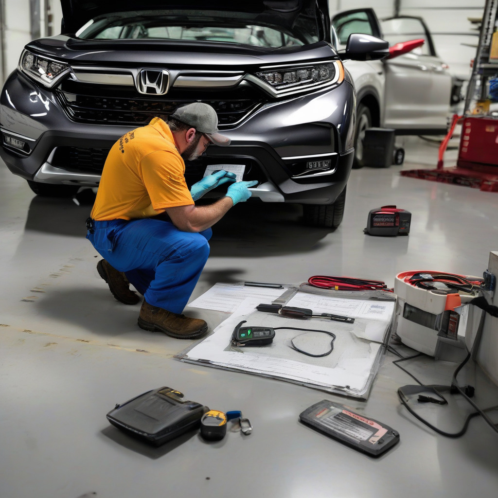
Flood damage to a vehicle is covered under comprehensive auto insurance—not collision, not liability. Water in the cabin, a submerged engine, destroyed electronics: all of it requires comprehensive. If your policy is liability-only, or liability-plus-collision without comprehensive, a flooded car is entirely your loss. That distinction caught a significant number of Harvey victims off guard. Years later, it still catches Houston drivers every season.
A persistent misconception among Harris County homeowners: TWIA—the Texas Windstorm Insurance Association—covers your house and contents against windstorm damage. It has nothing to do with your car. Your vehicle requires its own comprehensive coverage through a private insurer. If you know someone who assumes TWIA covers their car, tell them directly.
Here’s the hard timing issue. Once a named tropical storm watch is issued for the Texas coast, insurers typically impose a moratorium on adding or changing coverage. That window closes fast—often within 24 to 48 hours of watch issuance—and individual insurers set their own triggers. Some act before others.
The Texas Department of Insurance regulates moratorium practices; current guidelines are at tdi.texas.gov. But don’t rely on a general rule. Check what your specific insurer does.
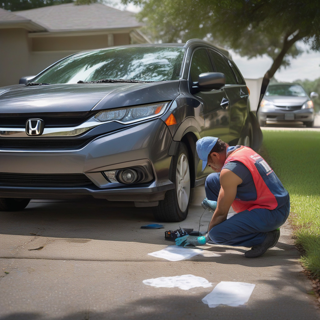
Pull your declarations page or call your agent this week. If you’re carrying liability-only, decide now whether to add comprehensive. Not when you’re watching the National Hurricane Center track a system through the Gulf. By then, it may already be too late.
Know Your Flood Zone Before You Decide Where to Park
Where you leave your car during a storm depends entirely on where you live. The Harris County Flood Control District maintains an interactive flood map at hcfcd.org that overlays FEMA zone designations on street-level maps. Pull up your address before the season opens.
Zone AE is the one that should give you pause. It’s the 100-year floodplain—areas with a 1-percent-or-greater annual chance of flooding. In Harris County, Zone AE covers enormous swaths of residential neighborhoods. Street parking in these areas during a significant tropical event is a genuine risk of losing the vehicle.
High-risk areas include Meyerland and the broader Brays Bayou corridor from Bellaire through Gulfton—among the most flood-prone residential zones in the county. Greenspoint on the north side carries substantial exposure. Portions of the Energy Corridor west of Beltway 8 flood repeatedly in major rain events. Clear Lake and Friendswood to the southeast carry significant Zone AE designation as well. Understanding which Houston neighborhoods have improved their flood risk after Harvey’s drainage projects can sharpen your read on where that zone boundary has meaningfully shifted.
Higher-elevation neighborhoods inside the Loop—parts of Montrose, the Heights bluff areas, the Museum District near Hermann Park—have less street-level risk in most storm scenarios. No neighborhood is immune in a Harvey-scale event, but there’s a real difference between “might get water” and “will almost certainly get water.”
One thing worth saying plainly: Houston has no official storm parking program. There’s no city-designated lot where residents in flood-prone neighborhoods can relocate their vehicles. The decision falls entirely to the individual resident. That’s a meaningful gap in the city’s storm infrastructure, and the city has shown no urgency to fill it.
The Parking Garage Rule and Where to Scout
The most reliable option for residents without private garages is simple: find an upper-floor space in a multi-story parking structure before the storm arrives. The working threshold is the third floor or higher. Street-level and first-floor garage spaces can flood in major events. Third floor and above gets you genuinely above the water line in all but the most extreme scenarios.
Downtown Houston along the Capitol and Rusk Street corridor has a dense concentration of parking structures accessible from I-10, I-45, and US-59. Identify specific addresses in advance so you’re not navigating unfamiliar one-ways under stress. Texas Medical Center has an extensive garage network with accessible upper floors open to the public. IAH and Hobby both have multi-level structures that some residents have used for extended storm parking—but rates, availability, and official policy vary, and you need to call the airport parking management lines directly to verify. Do that now, on a normal week.
The best time to identify a third-floor space is a clear Tuesday in June. By the Friday afternoon a watch is issued, the decision you’re making is whether to fight traffic downtown, not where the garage entrance is.
When to Move the Car and How Evacuation Zones Work
Harris County uses a lettered zone system—A through G roughly, keyed to vulnerability and proximity to coastal or flood risk—to guide departure decisions. Look up your zone letter now at readyharris.org. Evacuation orders for Harris County are issued by the County Judge; orders within the city of Houston proper come from the Mayor. In recent major events the two have coordinated, but they’re legally separate. Register for HCALERT at readyharris.org/hcalert to receive official order notifications by text and email. Television and social media both lag badly during active storms.
Harvey’s lesson on vehicle timing is specific. The decision to move your car should happen earlier than—and separately from—the decision to evacuate yourself. In Harvey, the official evacuation order never came, which was arguably the right call given the storm’s behavior. But residents who waited for a mandatory order before moving their vehicles lost that option entirely. If your car is in a Zone AE neighborhood and a major storm is projected to make landfall within 150 miles of Houston, move the car to a high structure before conditions deteriorate. Do it even if no order has been issued. Do it even if you’re sheltering in place.
The Two Routes Out and Where the Fuel Runs Out
Texas has two designated contraflow corridors for Houston evacuation: I-10 West toward San Antonio and I-45 North toward Dallas. US-290 toward Hempstead is a supplemental route that gets less attention—which makes it genuinely useful in the early hours of an evacuation, before word spreads and it, too, gets congested.
Contraflow—reversing inbound lanes to outbound—is not automatic. It requires a Governor’s declaration and has historically been activated with significant delay. Rita in 2005 showed what happens without it: 100-mile backups, cars running out of fuel on the highway. That evacuation still shapes how Texas thinks about these corridors. Contraflow helps enormously when it’s deployed. Don’t count on it being available in the first hours of a major push.
The fuel situation follows predictable geography. On I-10 West, stations at the Katy exits—Fry Road, Mason Road—are the first to go. They’re the nearest major fuel stop from Houston’s west side and absorb enormous early volume. Brookshire at FM 359 holds longer but depletes by mid-evacuation. Columbus, around exit 696, typically retains fuel the longest of any reliably-stocked stop within range. If you’re targeting a fill-up on I-10, Columbus is your landmark.
On I-45 North, Spring and The Woodlands deplete fast—they’re the first major commercial corridor north of the city. Huntsville is the reliable mid-corridor stop when it has fuel. Madisonville is the backup when Huntsville is gone. Between The Woodlands and Huntsville is a roughly 40-mile stretch with sparse options. Drivers who left Houston at a half-tank run out in that gap during every significant evacuation. It happens every time. US-290 to Hempstead offers a less-trafficked option—not a contraflow corridor, but its lower initial volume often means faster movement and available fuel at Hempstead in the early hours.
The Fuel Strategy
All of that translates to one discipline: the quarter-tank rule. From June 1 through November 30, don’t let your tank drop below a quarter full. This isn’t dramatic advice. Houston gas stations see price spikes and lines within hours of a watch issuance, and you may need to leave on short notice.
When you evacuate, leave with a full tank. On I-10, your fill-up target is Columbus, not Katy. On I-45, it’s Huntsville—or Madisonville if Huntsville is already picked clean. Plan to reach Huntsville directly from Houston without stopping in the depleted zone.
Keep a one- to two-gallon portable fuel can in the trunk, pre-filled. Use a proper vented fuel container from a hardware store. During Harvey and in post-Rita planning, TxDOT deployed mobile fuel trucks along congested corridors—but that’s not a strategy, it’s a contingency. Monitor TxDOT 511 at 511.org and @TxDOTHouston on X for deployment updates once an evacuation is underway.
The Houston Car Kit
Standard Red Cross emergency kit lists are built for a national audience. They don’t account for August and September evacuations in 95-degree heat, with vehicles sitting in near-stopped traffic for eight to twelve hours while the air conditioning runs continuously. Build for those conditions.
As part of our automotive coverage of Houston-specific vehicle preparedness, this kit reflects what the city’s climate and evacuation patterns actually demand—not a generic national checklist.
Pre-mixed coolant. Half a gallon of 50/50 pre-mixed stored in the trunk. Extended idling in extreme heat is the scenario most likely to cause overheating, and it’s exactly what evacuation traffic produces.
An insulated cooler with at least one gallon of water per person per day. Heat illness in stalled traffic is a real risk, not a hypothetical one.
Cold-stored medications. Heat destroys insulin and a range of other drugs within hours in a parked car. If anyone in the vehicle requires temperature-sensitive medication, that goes in the cooler.
A window reaker and seatbelt cutter combination tool. Twelve dollars at any auto parts store. In submersion events, power windows fail before the water clears the door seal. Keep it within arm’s reach of the driver’s seat—not the glove box, not the trunk.
Paper Texas road maps. Cell networks saturate and fail during major evacuations. A paper road atlas from any gas station is the backup that works without a signal.
Cash. Small bills. Card readers fail during power outages.
A portable battery bank with enough capacity for a full day of phone use.
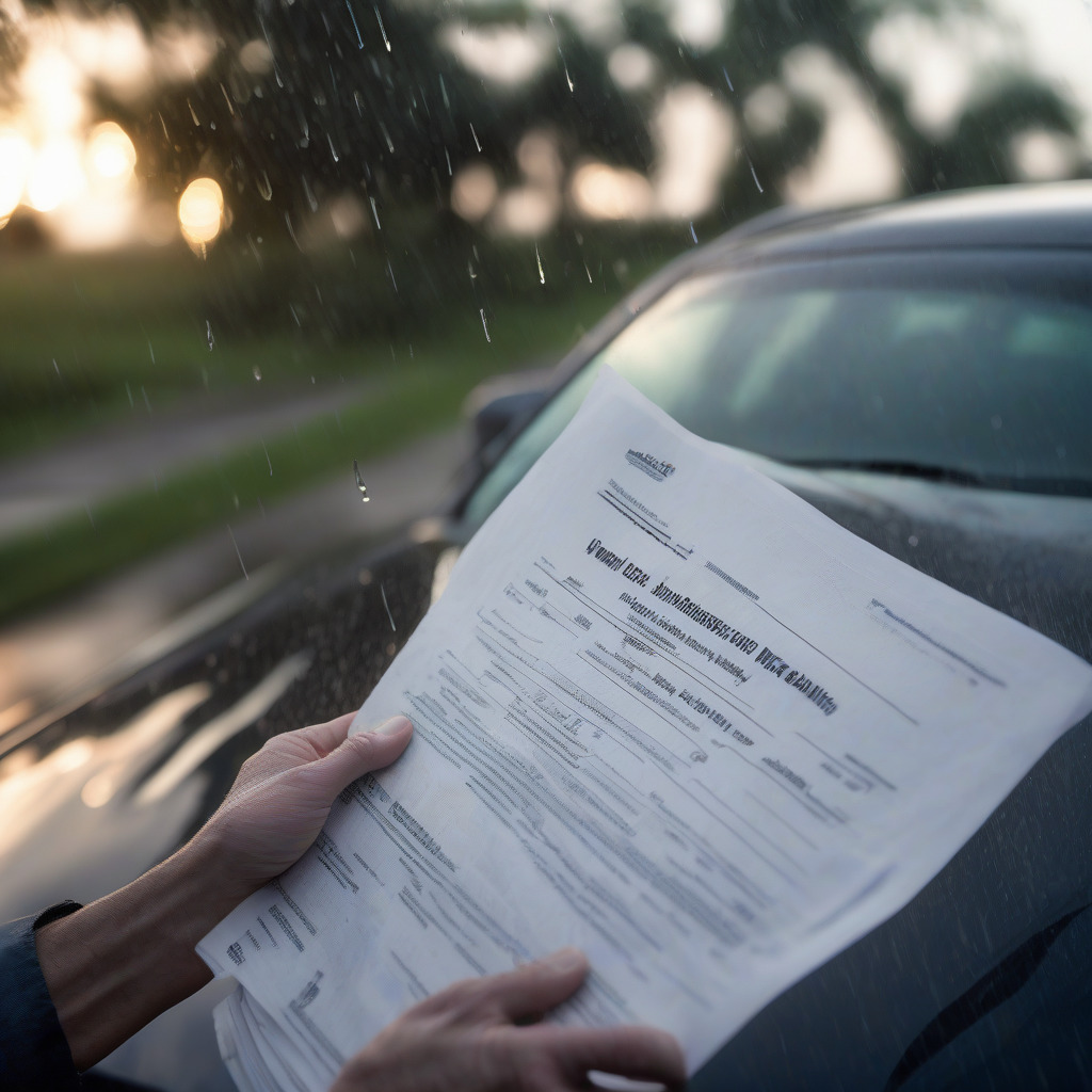
Copies of your auto insurance documents and vehicle title in a waterproof zip bag. If your car is destroyed, you’ll need these, and you shouldn’t have to depend on your house still being accessible to get them.
Pet Evacuation
Houston’s pet ownership rate is high, and after Katrina, the calculus on this changed permanently. Millions of residents won’t evacuate without their animals. Planners know it. The evacuation network has adapted, to a degree.
A number of shelters along Texas evacuation corridors are now pet-friendly, but they have requirements: current vaccination records and a hard-sided or soft-sided carrier. BARC Animal Shelter and Harris County Pets both maintain storm-specific protocols. The current pet-friendly shelter list is at readyharris.org and changes between seasons as facilities update their policies.
Verify the list at the start of hurricane season, not while you’re loading the car. Pack vaccination records with your other documents in the waterproof bag. It takes two minutes now. Under last-minute pressure, it’s the thing that gets left behind.
The Pre-Season Checklist
These steps need to happen in the order that matters, not the order that feels convenient.
1. Check your auto insurance coverage this week. Pull your declarations page or call your agent. If you’re liability-only or don’t carry comprehensive, decide now. The window closes when a named tropical storm watch is issued, and it doesn’t reopen.
2. Look up your address at hcfcd.org. Know your FEMA flood zone. If you’re in Zone AE, your street parking decision during any significant tropical event carries real financial risk.
3. Identify your nearest third-floor-or-higher parking structure. Write down the address and the entrance. Do this on a normal week. Downtown Capitol/Rusk garages and TMC structures are worth scouting. If you plan to use an airport garage, call and verify policy now.
4. Register for HCALERT at readyharris.org/hcalert for text and email emergency notifications.
5. Fill the tank and keep it above a quarter from June 1 through November 30. Add a pre-filled fuel can to the trunk.
6. Build the Houston-specific kit. Coolant, insulated water cooler, cold-stored medications if needed, window breaker within driver’s reach, paper maps, cash, battery bank, waterproof bag with insurance and title documents.
7. Know your evacuation zone letter. Look it up at readyharris.org.
8. Verify the pet-friendly shelter list at readyharris.org if you have animals. Pack vaccination records with your documents now.
A note on verification: TDI insurance moratorium rules, contraflow activation protocols, and airport parking policies cited here reflect historical patterns and publicly available guidance as of publication. Confirm your specific insurer’s moratorium trigger directly with your agent. Check TDI at tdi.texas.gov for current regulatory guidance. Call IAH and Hobby directly for parking policies. Contraflow decisions are made in real time by TxDOT and the Governor’s office; monitor TxDOT 511 and @TxDOTHouston for current-cycle updates.